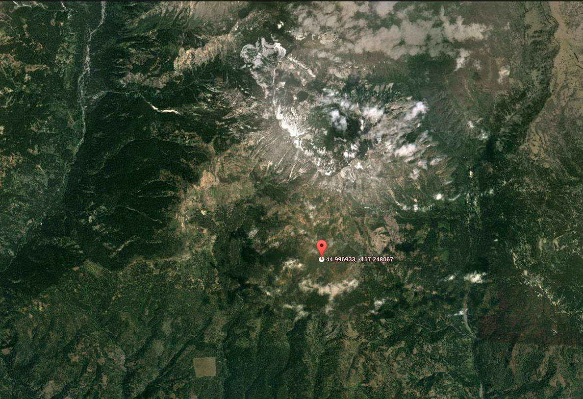
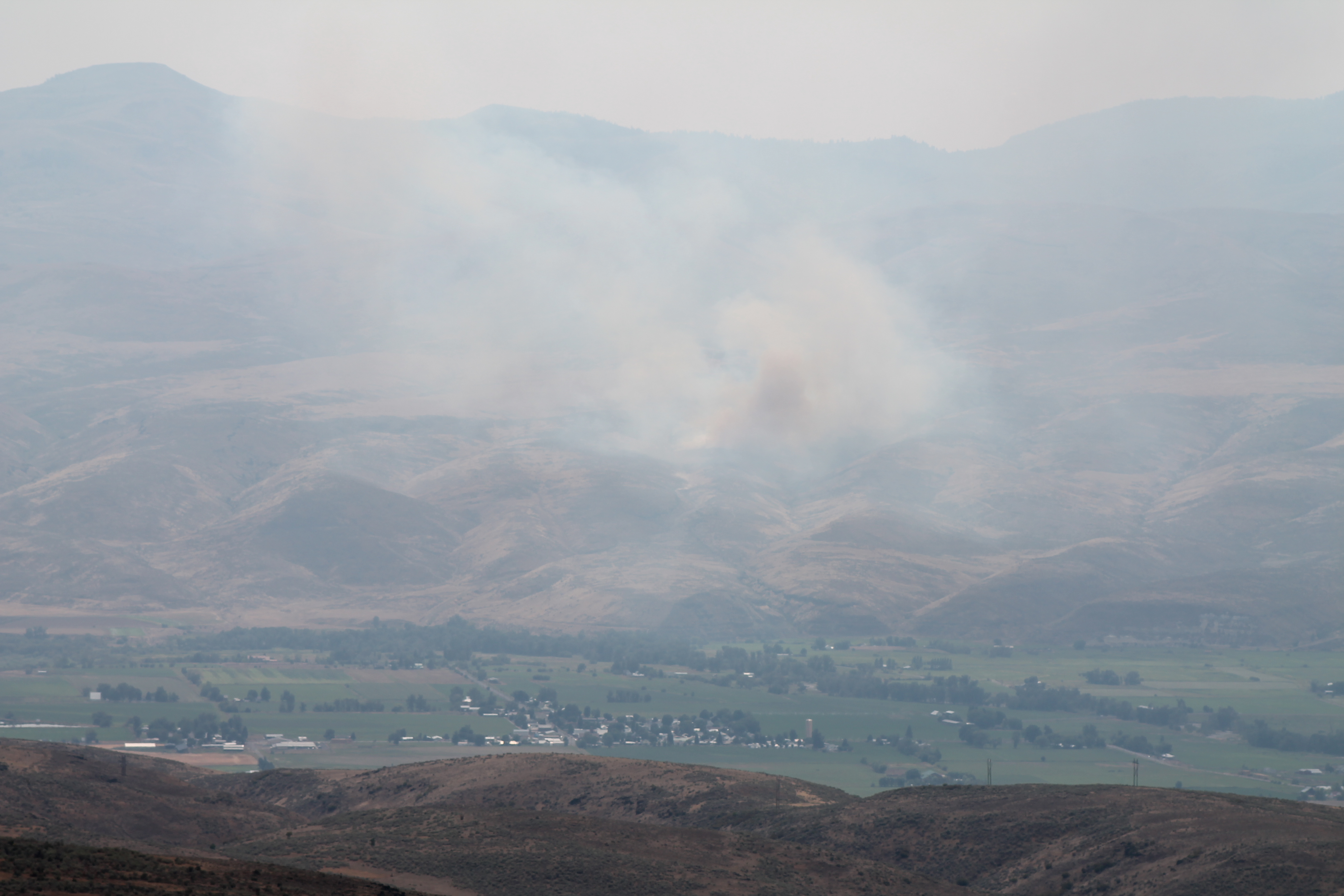
Again with the elevation theme but for someone who lives at sea-level, the fact that a trail that starts at 7,000ft is a significant consideration in planning and execution, as was the lightning storm that rolled in when I arrived and was on the highest ridge within 40 miles, Waited it out 30 minutes, Found out later that the storm did trigger a fire – 3,000′ below me (see pic of two fires on the other side of the valley below).
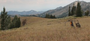
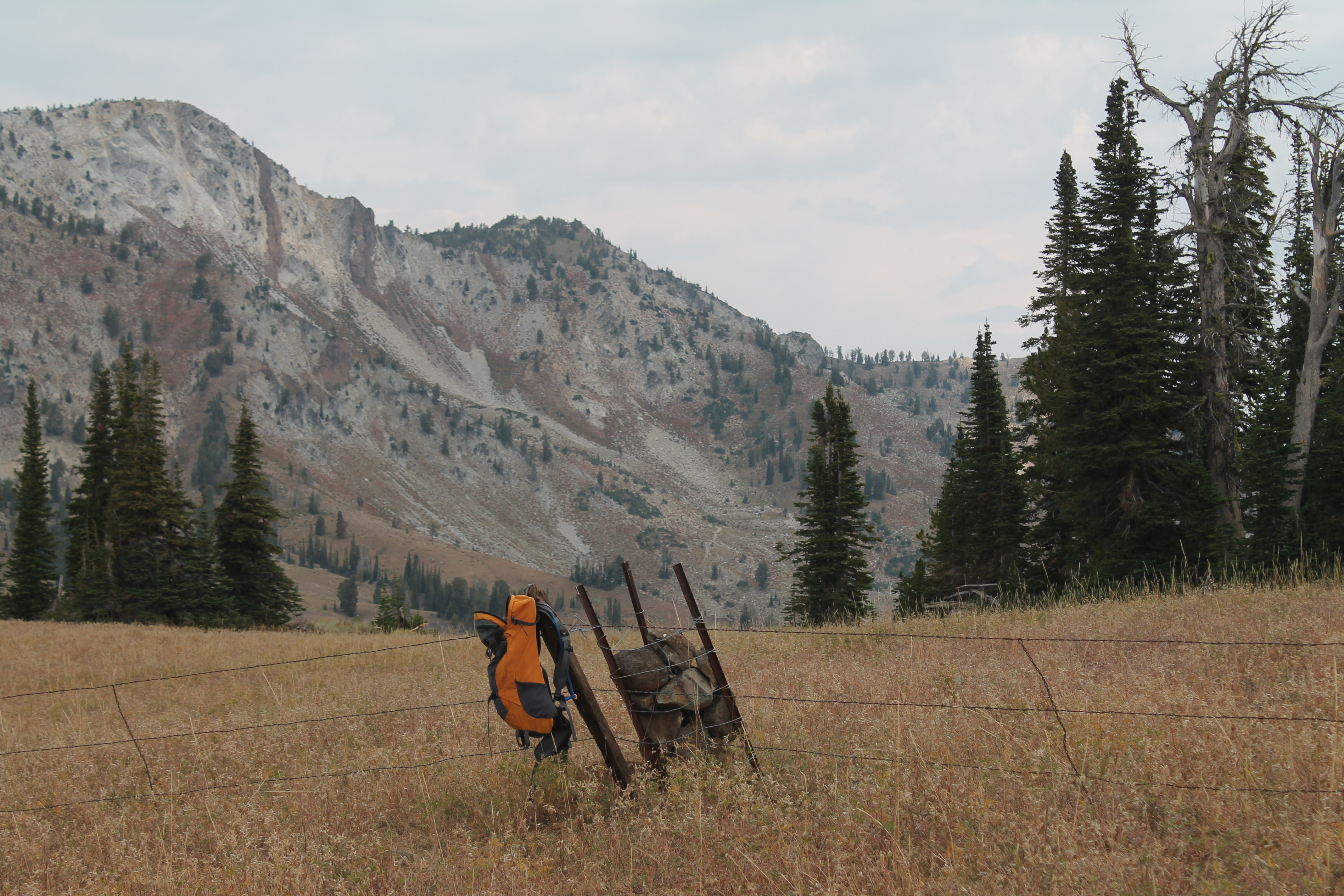
I had a nice weather window though. Here are pics from the point where I found that I could go no farther – less than 2 miles in. GPS says 500 feet up but I know it was more. Surprised that land was fenced for cattle (no digging postholes in this soil), the closest cattle I saw were free range about 2,000′ lower.
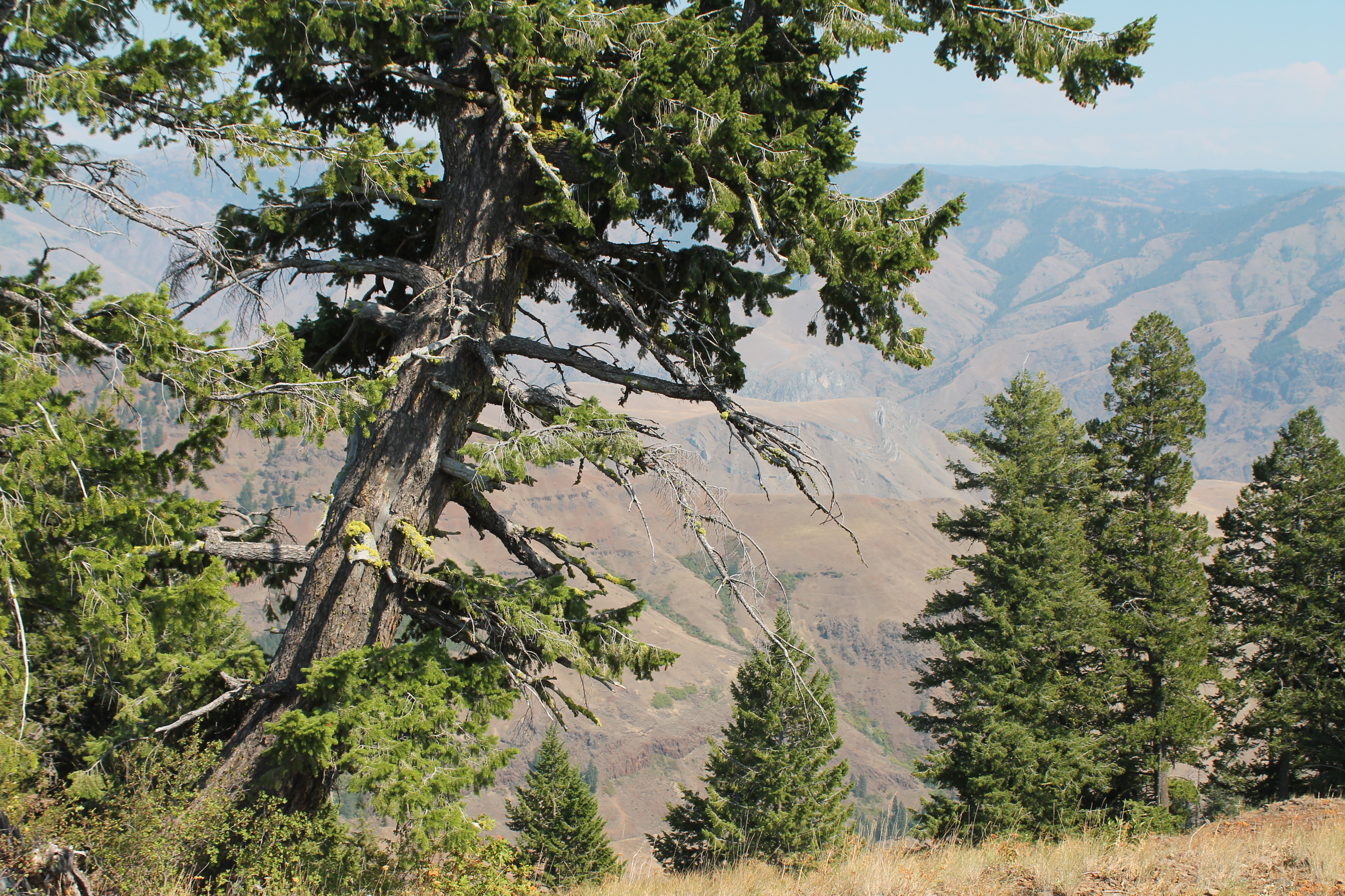
The views were beyond expansive.

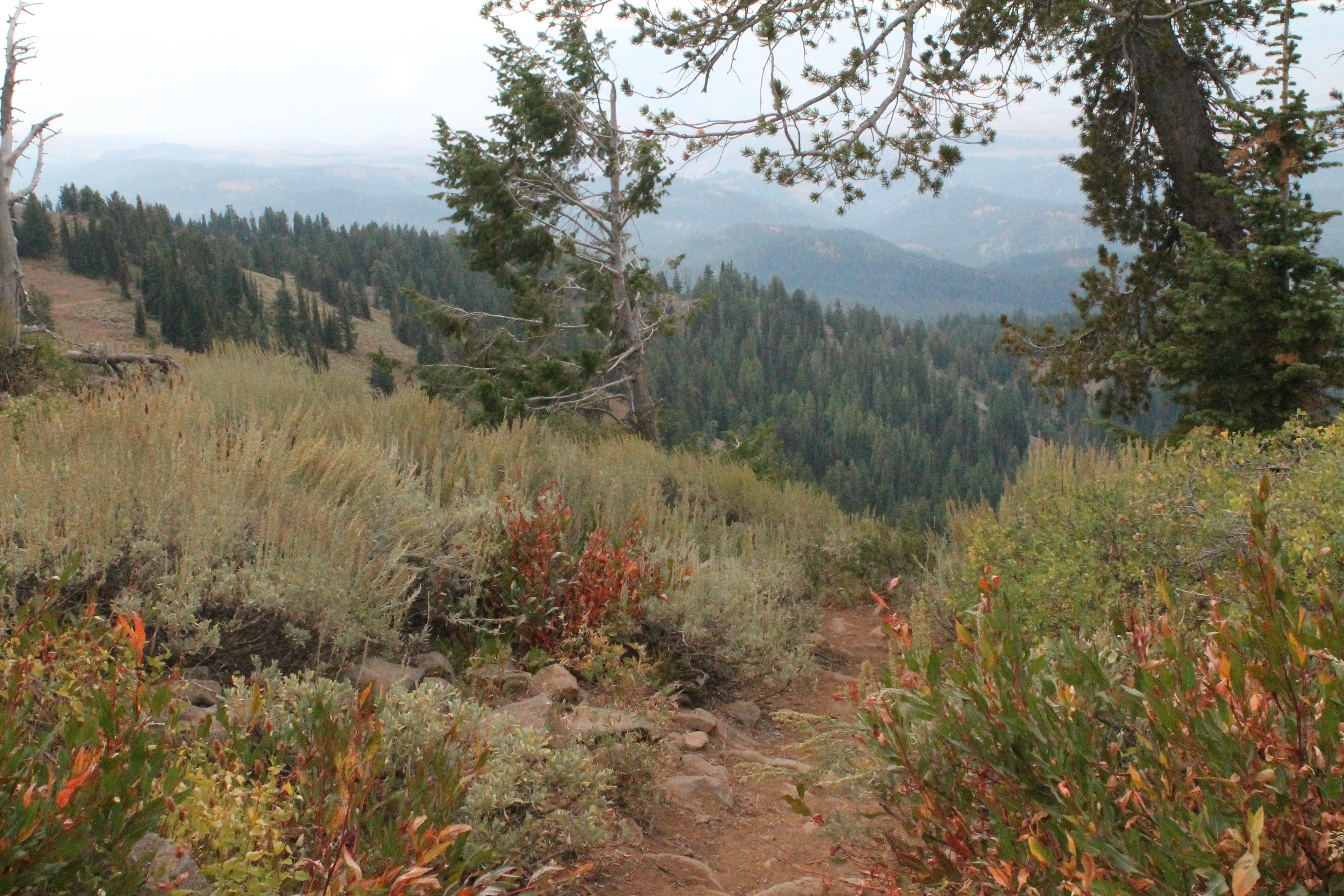
I did notice fresh wolf tracks over my boot tracks on my way back down, so that was exciting. The 1st mile of this trail (Summit Point Trail – says it all really) is very dusty and the size of the paw print left no doubt.
GPS
I could have made it to my goal – a lake 4 miles in – but I still had to drive another 3+ hours (unfortunately another theme of this trip) to get to my camp site for the night. Questioned that decision later but Labor Day weekend was coming so I got behind the wheel. The good news was that I made it to the other side of Oregon and got some pictures of Idaho from across Hells Canyon on the way there.
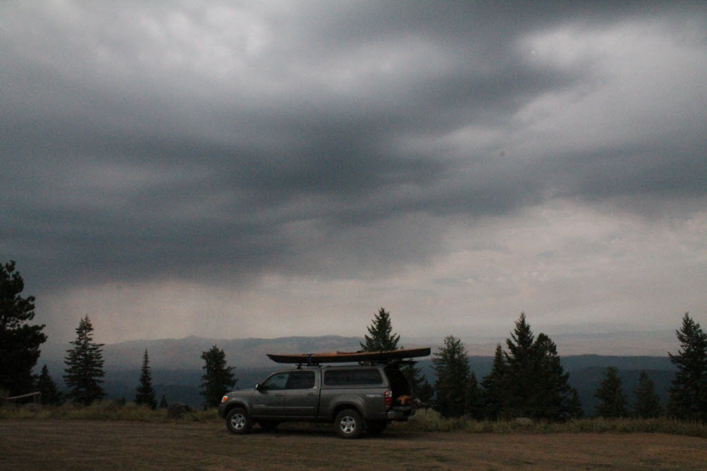
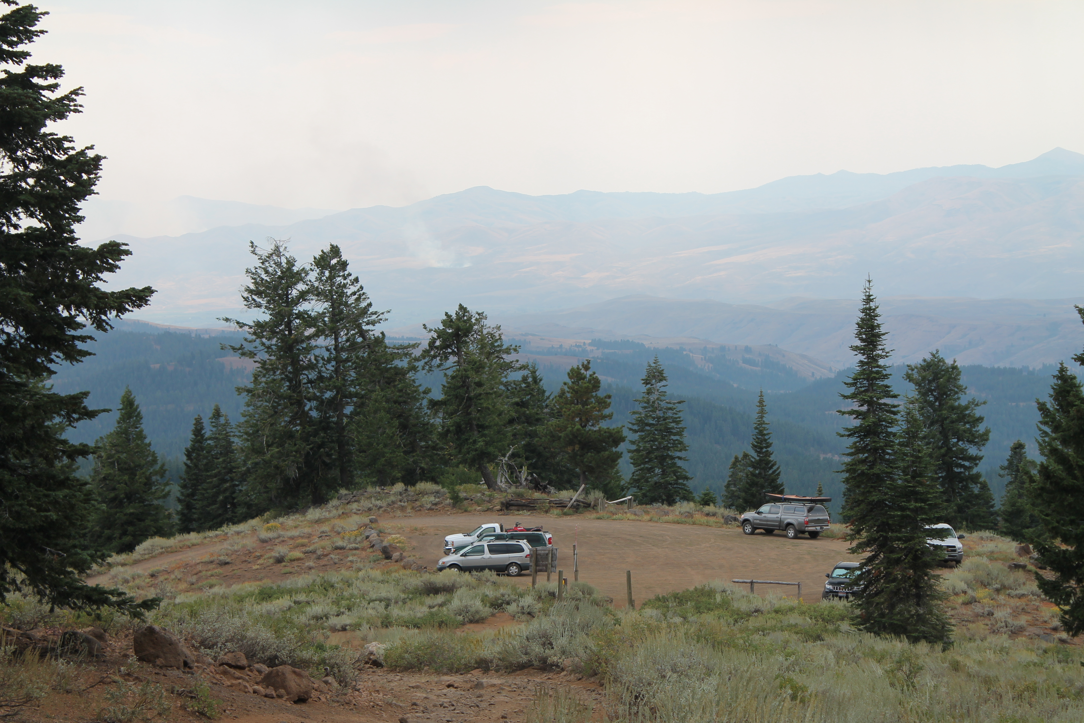
All that driving took its toll on the insect population – the bees were very interested in the truck. The only other vehicle at the Overlook was a retired couple driving a big pickup that had plates that said
Nebraska
Farm Truck

Dad would have loved today’s trip too.
So cool to find a wolf print! I love findings like that. You were seen.